

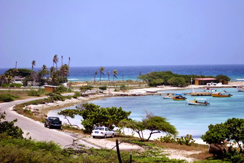
"Aruba is an island in the southern Caribbean Sea, located about 1,600 kilometers (990 mi) west of the Lesser Antilles and 29 kilometers (18 mi) north of the coast of Venezuela. It measures 32 kilometers (20 mi) long from its northwestern to its southeastern end and 10 kilometers (6 mi) across at its widest point. Together with Bonaire and Curaçao, Aruba forms a group referred to as the ABC islands. Collectively, Aruba and the other Dutch islands in the Caribbean are often called the Netherlands Antilles or the Dutch Caribbean...Aruba is a generally flat, riverless island in the Leeward Antilles island arc of the Lesser Antilles in the southern part of the Caribbean. It has white sandy beaches on the western and southern coasts of the island, relatively sheltered from fierce ocean currents. This is where most tourist development has occurred. The northern and eastern coasts, lacking this protection, are considerably more battered by the sea and have been left largely untouched by humans...
To the east of Aruba are Bonaire and Curaçao, two island territories which once formed the southwest part of the Netherlands Antilles. This group of islands is sometimes called the ABC islands.
The Natural Bridge was a large, naturally formed limestone bridge on the island's north shore. It was a popular tourist destination until its collapse in 2005."
 |
| Natural Bridge - it collapsed in Sept. '05 - we were there in May |

"Unlike much of the Caribbean region, Aruba has a dry climate and an arid, cactus-strewn landscape. This climate has helped tourism as visitors to the island can reliably expect warm, sunny weather... It lies outside the hurricane belt."


"The California Lighthouse is a lighthouse located near Arashi Beach on the northwest tip of Aruba.
This lighthouse was named for the steamship California, which wrecked nearby on September 23, 1891. It was formerly open to the public until a suicide occurred, which prompted authorities to restrict public access to the lighthouse."
 |
| California Lighthouse
We
wandered around 'town' as usual - delightful. We were surprised to see
some sort of bikers event. Who would believe there'd be hundreds of bikes on this
little island?
|

 |
| Looks like a tight squeeze! |

 | |
| Hanging on the wall inside the bar |
 |
| Outside the bar |
OK...here's the creepy part. We stayed in port well after midnight. It was about 1:30 am on May 30th that Natalee Holloway was last seen coming out of Carlos'n Charlie' which was very close to where we were docked. Of course, we didn't know about the story for some time later. I actually contacted the powers-that-be (who ever they were at the time) to suggest they speak to the people on the boats that were docked there that night-maybe someone saw something.????


The Polynesia was also in port that day.

 |
| I think 'blogspot' would kick me out if I showed the picture from the other angle! (yes, there are pics from the other side) |
The next two days are sea days
No comments:
Post a Comment